Kentucky Soil Atlas Released
Kentucky Soil Atlas Released
Published on April 3, 2018
Retired Professor Anastasios D. Karathanasis led a team of soil scientists to produce the recently released "Kentucky Soil Atlas." From the preface, "This Soil Atlas has been prepared as an aid to further the knowledge of soils in our state and provide a basic exposure of Kentucky’s soil resources to educators, students, natural resource planners, policy makers, citizens and visitors. The objective of the publication is to present the prominent characteristics of representative soils and how they may affect soil use and management. The Atlas is meant to give a generalized view of the soil resources in the state and serve as an introduction to understanding their complex nature. More complete information about the soils found in Kentucky is available in the Web Soil Survey (https://websoilsurvey.sc.egov.usda.gov/App/HomePage.htm) and archived PDF files of the soil survey manuscripts (https://www.nrcs.usda.gov/wps/portal/nrcs/surveylist/soils/survey/state/?stateId=KY).
The information compiled in this publication is a product of great efforts by many soil scientists throughout the state over the last 50 years. These efforts included strong collaborations among the Kentucky USDA Natural Resources Conservation Service, the University of Kentucky, the US Forest Service and the Kentucky Natural Resources and Environmental Protection Cabinet. Employees of these agencies have worked for decades to map the state soils and produce the information needed for developing improved land-use planning and resource management practices.
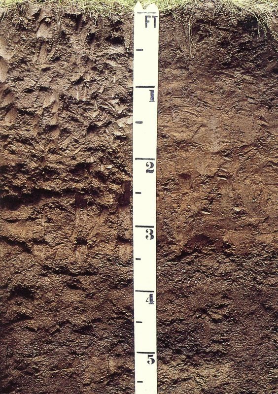
 An assortment of landscape, geology, and soils images along with associated maps has been included in this publication to document the uniqueness of Kentucky’s soils and other resources. It was impractical to present information about all the soils mapped in the state. Instead, certain soils were selected from different regions based on their importance, areal extent, or uniqueness of their characteristics. Many of the selected soil profile images and some landscape pictures have been published in soil survey reports. Others have been obtained by soil scientists, colleagues, and University of Kentucky extension agents. Geology and some physiography maps were obtained from the Kentucky Geological Survey. Other maps have been acquired from various web sites or generated by USDA-NRCS personnel. Each depicted soil is classified according to the Soil Taxonomy System. Soil profile descriptions and characterization data for selected soils have also been included to provide additional information for some important soils. These data were produced by the Pedology Laboratory of the University of Kentucky. Additional soil characterization data for about 1000 soil sites in the state have been published in several reports and are also available from the National Cooperative Soil Survey Soil Characterization Database."
The atlas is available for download from the University of Kentucky digital library. (https://uknowledge.uky.edu/pss_book/4/)